TOPOGRAPHIC MODEL
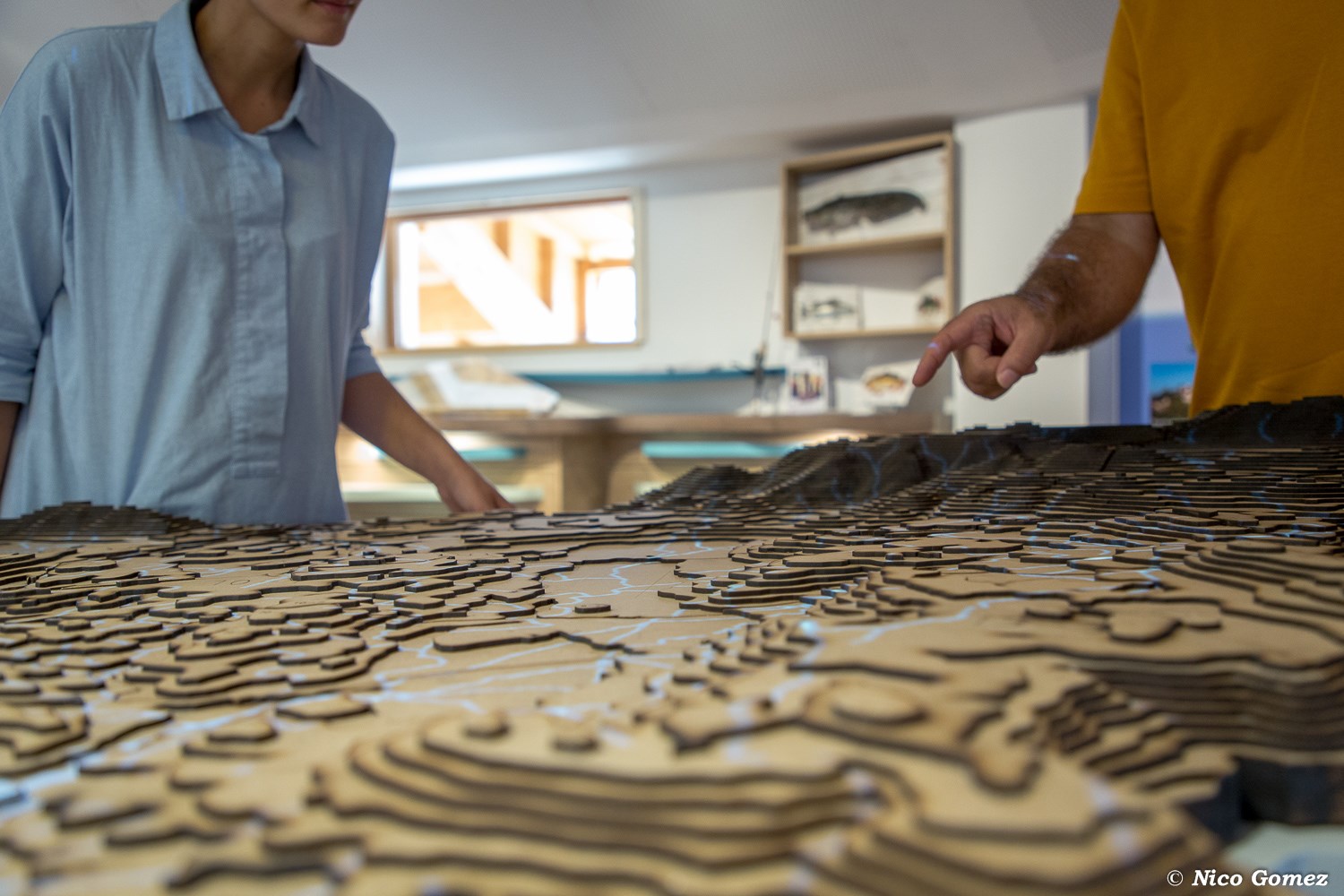
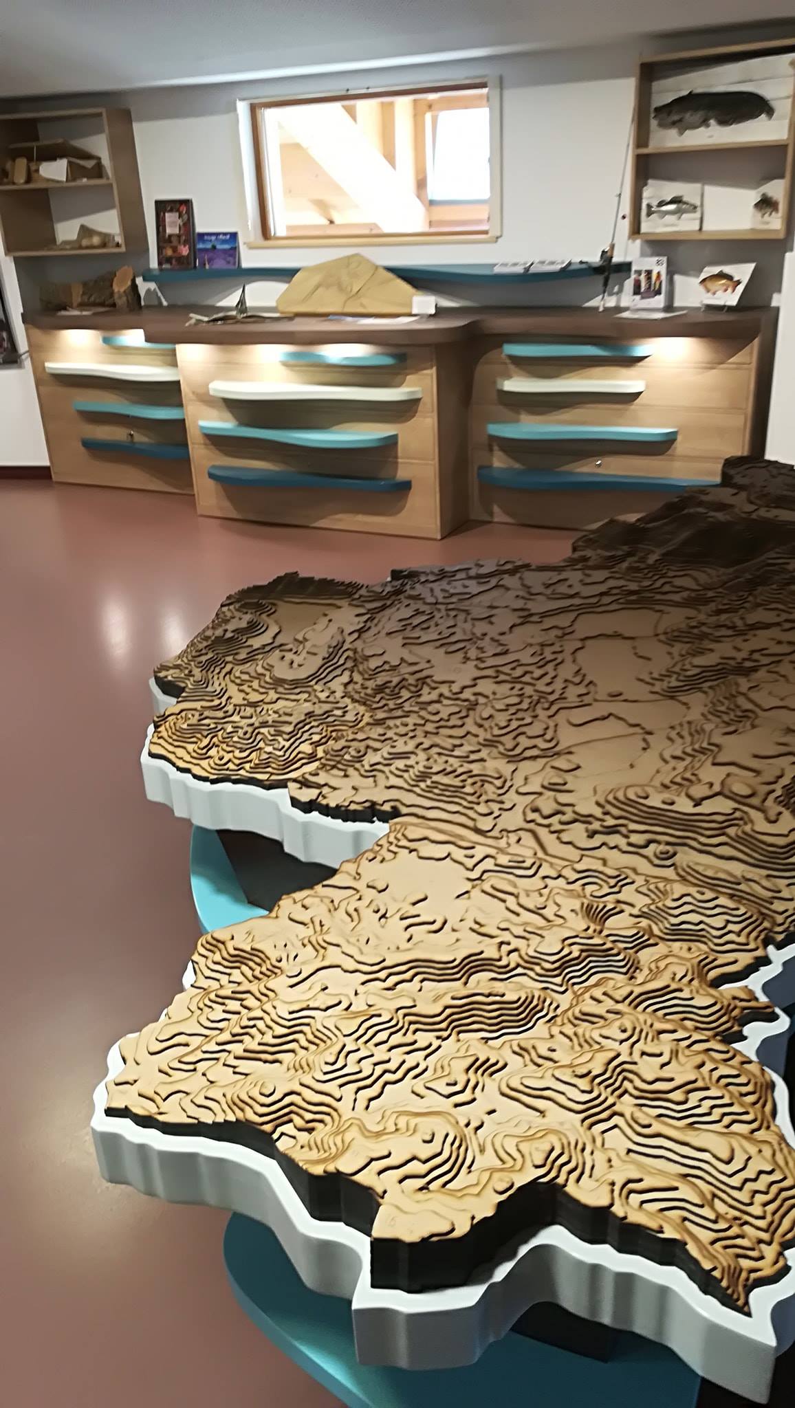
Topographic model
Realisation of a topographic model: : recovery of IGN topographic data of the lake easement, laser cutting by contour lines and assembly of a topographic plate of 2.5m x 1.5m with division of municipalities. Then realisation of invidual boxes to transport the model. Currently visible at La Maison du Lac, in Saint Cassien. Project leader: Maison du Lac de Saint Cassien (Town of Fayence) Date: from April to Septembre 2018
Conception 40%
Prototyping 0%
Fabrication 60%